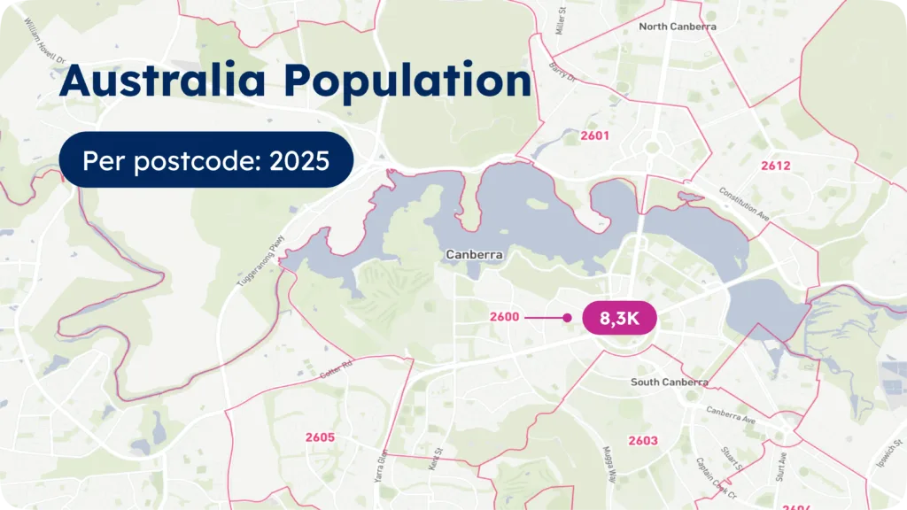
Australia Population by zip code database
Historical, current and future trends for every Australia zip code, in CSV format, ready to integrate.

Australia population by zip code data sample
| ISO | Postcode | Pop1975 | Pop2025 | Pop2030 | Square_km |
|---|---|---|---|---|---|
| AU | 2600 | 3473 | 8368 | 8702 | 40.259 |
| AU | 2601 | 669 | 9800 | 10875 | 11.750 |
| AU | 2602 | 10771 | 39351 | 43372 | 24.547 |
| AU | 2603 | 4571 | 10279 | 10684 | 9.195 |
| AU | 2604 | 3894 | 10578 | 11017 | 5.489 |
| AU | 2605 | 7180 | 12045 | 12099 | 9.293 |
| AU | 2606 | 4610 | 9148 | 9187 | 9.032 |
| AU | 2607 | 9153 | 14076 | 14150 | 10.274 |
| AU | 2609 | 804 | 978 | 997 | 112.323 |
| AU | 2611 | 17797 | 23450 | 23036 | 1292.521 |
| AU | 2612 | 4105 | 21462 | 23561 | 10.158 |
| AU | 2614 | 11582 | 21262 | 21885 | 11.249 |
| AU | 2615 | 23482 | 52489 | 54057 | 67.208 |
| AU | 2617 | 15341 | 35917 | 36999 | 41.460 |
| AU | 2620 | 15277 | 47944 | 51357 | 2919.363 |
| AU | 2900 | 813 | 1791 | 1762 | 80.951 |
| AU | 2902 | 12942 | 14970 | 14662 | 11.335 |
| AU | 2903 | 8111 | 9390 | 9195 | 6.483 |
| AU | 2904 | 11454 | 12513 | 12248 | 9.751 |
| AU | 2905 | 23630 | 28609 | 28012 | 19.813 |
| AU | 2906 | 10716 | 18942 | 18548 | 11.218 |
| AU | 2911 | 432 | 669 | 689 | 14.429 |
| AU | 2912 | 4822 | 8197 | 8374 | 9.638 |
| AU | 2913 | 14495 | 28383 | 28984 | 30.104 |
| AU | 2914 | 6631 | 16263 | 16617 | 31.120 |
SOLUTIONS
Typical use cases for population by zip code
Sales & Marketing
Ad targeting
Market intelligence
Customer analytics
Marketing campaign analysis
Territory mapping
Demand forecasting
Sales territory mapping
Retail site selection
Reporting
Historical population data
Leverage Population Trends which record changes in Population Density, Tracks Migration and Urbanization Patterns with data spanning 55 years.
From 1975 to 2023 with 5 year intervals
Highest quality
Our population data results from aggregating reliable census sources with our curated Boundaries Database.
99% match with official Census data
Rich attributes
Our population by zip code data can be enriched with country-specific information, time zones, multi-language, UNLOCODE, and IATA codes.

Frequently Asked Questions
Download a US Population by zip code data sample for all zip codes, including current, historical, and future population trends. The demographic data is available in ready-to-integrate CSV format.
ZIP Code Tabulation Areas (ZCTA) are statistical entities created by the United States Census Bureau to tabulate summary statistics. ZCTAs are designed to represent the geographic area associated with a ZIP code. This is particularly useful for collecting and analyzing demographic data.
The Census Bureau uses generalized representations of ZIP Codes as defined by the United States Postal Service through ZIP Code Tabulation Areas (ZCTAs). Census data is publicly available through the Census website. It is used to understand the population characteristics of specific areas based on postal codes.
A decennial census refers to a population count conducted by the Census Bureau every ten years. The American Community Survey is also conducted by the Census Bureau. Unlike the every-10-year census, this survey continues all year, every year.
The demographic data is broken out by gender, age, and location using zip code tabular areas (ZCTAs) and GEOIDs. You can also find the median age, age range, estimated population, and other key statistics.


