

What is Geomarketing?
Imagine boosting your sales by targeting customers right where they are. Geomarketing makes this possible using precise location data and geographic information systems (GIS) like Esri. With geocoded data, you can segment target audiences based on their proximity to specific locations, enabling hyper-local and personalized marketing efforts.
For instance, a retailer can target customers within a five-mile radius of a new store opening, ensuring timely and relevant communication. This precise targeting makes marketing efforts efficient and effective, reaching those most likely to respond positively.
💡 For over 15 years, we have created the most comprehensive worldwide zip code database. Our location data is updated weekly, relying on more than 1,500 sources. Browse GeoPostcodes datasets and download a free sample here.
Geomarketing provides deeper insights into customer behavior patterns. By analyzing geographic data, businesses can understand regional preferences, optimize delivery routes, and identify high-potential areas for expansion. For example, analyzing sales data by zip code can reveal underperforming regions that may benefit from increased marketing efforts or adjustments in product offerings.
By the end of this article, you will understand how geomarketing can drive your marketing objectives and improve overall business performance.
How to Deploy Successful Geomarketing Strategies
Accurate data is crucial for effective geomarketing for businesses operating in multiple countries. Collecting the correct geographic data from different countries is challenging due to varying address formats and postal systems, making compiling consistent and usable information tough. Without it, finding your customers can be tricky, leading to wasted marketing efforts.
Once you have the data, keeping it up-to-date is another hurdle. Addresses change, new postal codes get added, and errors occur.
That’s why address standardization and cleansing is so important. Standardization converts all addresses into a standard format while cleansing corrects errors and fills in missing information.
Accurate data helps you understand market trends and customer behavior. It also lets you tailor your marketing strategy to each market’s unique needs, making your campaigns more relevant and effective. Additionally, accurate data powers advanced analytics for deeper insights.
💡 Use accurate location data for geomarketing. For over 15 years, we have created the most comprehensive worldwide zip code database. Our location data is updated weekly, relying on more than 1,500 sources. Browse GeoPostcodes datasets and download a free sample here.
The Role of Spatial Analysis in Geomarketing
Spatial analysis is a critical component of geomarketing, which involves using geographic data to inform marketing strategies. It includes customer distribution, preferences, movements, purchasing behaviors, competitor strategies, and optimal resource allocation.
Geographic Information Systems (GIS) are essential tools in geomarketing. They enable the visualization and manipulation of geographic data on digital maps. GIS integrates various data layers—demographic, psychographic, traffic, weather, and social media insights—to understand the marketplace comprehensively.
For instance, a real estate company can use GIS to overlay demographic data with property values, identifying lucrative investment opportunities.
Optimizing Targeted Marketing Campaigns with Spatial Analysis
Once you have accurate data, spatial insights from that data enable effective market segmentation by uncovering patterns, trends, and relationships hidden in traditional data sets.
For example, a retail company might have a customer database with information about purchase history, demographics, and customer preferences. They might observe general trends using traditional market analysis, such as which products are most popular or which age group spends the most. However, spatial insights can reveal more profound, more actionable insights:
Spatial Relationship Analysis
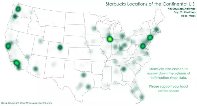
Heat Maps: By mapping customer addresses, the company can create heat maps to visualize where the highest concentration of purchases is coming from. It might reveal clusters of high-value customers in specific neighborhoods that were not apparent in traditional data analysis.
Proximity Analysis: By conducting a detailed proximity analysis, companies can uncover how travel distance impacts purchase frequency, providing insights into whether increasing store density is necessary.
For instance, an analysis might reveal that customers within a 3-mile radius of a store visit twice as often and spend 40% more per visit than those living further away. Interestingly, the data might also show that customers in suburban areas with high traffic congestion visit stores less frequently despite being within a short distance, highlighting the impact of travel time over distance.
Moreover, areas with efficient public transportation systems might exhibit higher store visit frequencies even if customers are farther away.
Market Segmentation: Segmenting your target market involves dividing potential customers based on demographics, psychographics, behavior, or location.
Demographic Layers: Adding geographic layers of demographic data (such as income levels, education, and occupation) to customer data can help the company identify segments with specific characteristics. For instance, they might discover that customers in higher-income areas prefer premium products, whereas customers in other areas prefer budget-friendly options.
Behavioral Patterns: By integrating geographic data with transaction timestamps, companies can gain detailed insights into consumer behavior, leading to unexpected and valuable discoveries.
For instance, a beverage company might uncover that sales of energy drinks spike in coastal cities during the winter months, contrary to the common belief that energy drink consumption peaks during the summer. This surprising finding can be attributed to the increased indoor activities and gym attendance during colder weather.
By leveraging these insights, businesses can optimize their inventory and marketing campaigns, targeting promotional energy drinks in coastal areas, specifically during the winter, ultimately enhancing sales and customer satisfaction.
Campaign Targeting: With spatial insights, companies can strategically plan their marketing and expansion efforts based on purchasing power and customer distribution.
For example, a retail chain might discover through geographic analysis that a high-income neighborhood in Austin, Texas, shows a significant gap in specialty grocery stores. Despite high purchasing power, residents in this area have limited access to high-end organic food stores.
By leveraging this insight, the company can launch targeted promotions to attract these high-value customers and plan the opening of a new store in this underserved area. This approach addresses an existing demand, optimizes resource allocation, and maximizes potential revenue.
Check out our article on the best sales territories mapping software tools to learn more about using a geographical information system (GIS) to derive insights from location data.
Geomarketing Tools
Let’s explore some popular geomarketing tools and how they can help your business:
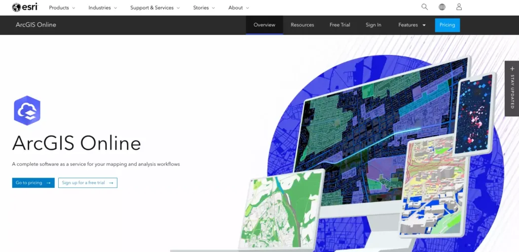
GIS (Geographic Information Systems): GIS platforms like ArcGIS and QGIS are potent tools that help businesses visualize, analyze, and interpret spatial data. They allow you to map customer distributions, identify market gaps, and optimize delivery routes. You can observe where your customers are and how they move to make informed decisions about where to focus your marketing efforts.
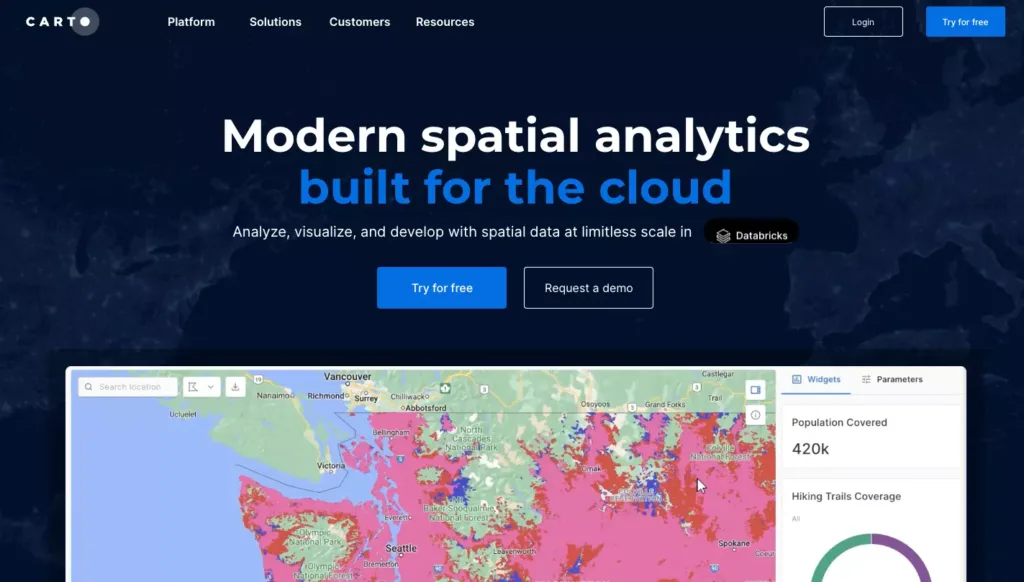
Location Intelligence Platforms: Platforms like Esri’s Business Analyst or CARTO provide robust location analytics. These tools help you understand spatial patterns and make data-driven decisions. Features include demographic analysis, market segmentation, and site selection, which can be crucial for identifying the best locations for new stores or targeting specific customer segments.
CRM with Geocoding Capabilities: Customer Relationship Management (CRM) systems like Salesforce can enrich customer data with geographic coordinates. It means you can create targeted campaigns based on where your customers live or work and improve customer service by better understanding their location-based needs.
Mobile Location Analytics: Tools like Google Analytics and Foursquare offer insights into customer movements and behaviors using mobile data. These tools help you understand foot traffic patterns, popular locations, and customer journeys. By analyzing this data, you can tailor your marketing messages to reach customers when they are most likely to engage.
Geo-targeted Advertising Platforms: Platforms such as Google Ads and Facebook Ads offer geo-targeting features that allow you to deliver marketing messages to specific geographic locations. You can target ads based on city, ZIP code, or even a particular radius around an area. It ensures your ads reach the right people in the right places.
What Ads Can Be Done with Geomarketing
Geomarketing allows you to create highly targeted advertising campaigns based on geospatial data. Here are some effective types of ads you can run:
Localized Search Ads: Localized search ads appear in search engine results when users search for products or services within a specific area. For instance, if you own a local bakery, you can target people searching for “best cakes near me,” ensuring your business shows up when they are looking for your products.
Geo-fencing Ads: Geo-fencing sets a virtual boundary around a physical location. When potential customers enter this area, they receive targeted ads. Retail stores often use geo-fencing to attract nearby shoppers with promotions or discounts, increasing foot traffic and sales.
Proximity Marketing: Proximity marketing involves sending targeted messages to customers based on their proximity to a specific location. For example, a restaurant might send a special offer to people within a one-mile radius, enticing them to visit.
Location-Based Social Media Ads: Social media platforms like Facebook and Instagram allow you to target users based on location. You can promote events, sales, or new product launches to users in specific areas, ensuring your message reaches the right audience.
Weather-Triggered Ads: Weather-triggered ads change based on real-time weather conditions. For instance, a sunscreen brand might increase its ad spend during sunny days in particular regions, ensuring they reach customers when their product is most needed.
Event-Based Location Targeting: Event-based targeting allows you to run ads based on local events. For example, a sports equipment store might run ads during a significant local sports event to attract attendees, increasing the chances of driving relevant traffic to their store.
How to Start with Geomarketing
Starting with geomarketing can seem daunting, but by following these steps, you can effectively leverage geospatial data for your marketing strategies:
Define Your Goals
First, determine what you want to achieve with geomarketing. Are you looking to increase foot traffic, improve local SEO, or enhance customer engagement? Clear goals will guide your marketing strategies and ensure you stay focused.
Choose the Right Tools
Select geomarketing tools that align with your goals. GIS platforms, CRM systems with geocoding, and location intelligence platforms are all viable options. Ensure your chosen tools can integrate seamlessly with your existing systems to maximize their effectiveness.
Segment Your Audience
Use the collected data to segment your audience based on location, preferences, and behaviors. This segmentation allows you to create more targeted and effective campaigns that resonate with specific customer groups.
Implement Geo-Targeted Campaigns
Create and run marketing campaigns tailored to specific geographic segments. Utilize geo-targeted ads on platforms like Google Ads and social media. Implement geofencing and proximity marketing to reach the target audience in the most relevant locations.
Monitor and Optimize
Continuously monitor the performance of your geomarketing campaigns. Use analytics tools to track key metrics such as engagement, conversion rates, and ROI. Optimize your strategies based on the insights gained from this data to ensure ongoing improvement.
By following these steps, you can effectively harness the power of geomarketing to enhance your marketing efforts and drive better results for your business.
Conclusion
In the ever-evolving digital marketing landscape, geomarketing is a crucial strategy for maximizing ROI. Businesses can achieve highly targeted and personalized marketing efforts by leveraging spatial analysis and geocoded data. Here’s a recap of the key points:
Targeted Promotions: Send precise promotions based on customer locations, ensuring timely and relevant communication. This strategy can significantly increase engagement and conversion rates.
Customer Behavior Insights: Gain deeper insights into customer behavior patterns. Understanding regional preferences and purchasing behaviors enables businesses to tailor strategies for maximum impact.
Optimized Operations: Analyze geographic data to optimize delivery routes and identify high-potential areas for expansion. It enhances efficiency and uncovers new growth opportunities.
Accurate Data: Success in geomarketing relies on accurate and up-to-date geographic data. Address standardization and cleansing are essential for maintaining data quality, powering advanced analytics, and crafting effective marketing strategies.
💡 Use accurate location data for geomarketing. For over 15 years, we have created the most comprehensive worldwide zip code database. Our location data is updated weekly, relying on more than 1,500 sources. Browse GeoPostcodes datasets and download a free sample here.
Integration with GIS: Geographic Information Systems (GIS) are powerful tools that integrate various data layers to understand the marketplace comprehensively. Use GIS to visualize customer distributions, market gaps, and optimal resource allocation.
These geomarketing strategies empower your business to make data-driven decisions and achieve better marketing outcomes. Ready to elevate your marketing strategies with location data? Contact us today to learn how GeoPostcodes can support your geomarketing initiatives.
FAQ
What is an example of geomarketing?
An example of geomarketing is a retail chain using customer location data to identify high-potential areas for opening new stores.
The chain can strategically select sites that maximize reach and profitability by analyzing demographics, competitor locations, and foot traffic patterns.
What is the role of geomarketing?
The role of geomarketing is to leverage geographic data to enhance marketing strategies and business decisions.
It involves analyzing location-based information to optimize customer targeting, improve market segmentation, and enhance operational efficiency.
What are the benefits of geomarketing?
The benefits of geomarketing include:
- Improved customer targeting and personalized marketing.
- Enhanced market segmentation and identification of new market opportunities.
- Optimization of sales territories and distribution networks.
- Better decision-making through spatial analysis and data visualization.
- Increased operational efficiency and competitive advantage.
What is geomarketing software?
Geomarketing software refers to tools that help businesses analyze geographical location data to enhance marketing strategies and decision-making.
This software integrates geographic and demographic information to provide insights into customer behavior, market trends, and sales performance.
By leveraging location-based data, companies can more effectively target specific regions, optimize distribution networks, and identify potential markets for expansion.
What is the Global Positioning System (GPS)?
The Global Positioning System (GPS) is a satellite-based navigation system that provides location and time information anywhere on or near the Earth with an unobstructed line of sight to four or more GPS satellites.
Initially developed by the United States Department of Defense, GPS is now widely used for military and civilian purposes.


