

Accurate location data is essential for enterprises. Whether optimizing delivery routes, enhancing customer experiences, or doing spatial analysis, businesses across various industries rely on location data providers to stay competitive.
This article will explore the following location data companies: GeoPostcodes, InfobelPRO, Google Maps, Carto, Esri, Safegraph, Here, and TomTom.
Moreover, we’ll investigate other data sources, such as open-source data and local postal operators. We’ll also examine the pros and cons of using self-hosted data versus API solutions.
💡 For over 15 years, we have created the most comprehensive worldwide zip code database. Our location data is updated weekly, relying on more than 1,500 sources. Browse GeoPostcodes datasets and download a free sample here.
| Company | Key Features | Ideal For | Not Suitable For |
|---|---|---|---|
| GeoPostcodes | Self-hosted, guaranteed worldwide coverage across 247 countries, standardized data structure, regular updates, fully geocoded data | Wide range of use cases for enterprises operating in multiple countries and product builders | Small-scale projects seeking quick solutions |
| InfobelPRO | One of the world’s largest commercial POI datasets (172M+ POIs); Worldwide coverage, Easy integration through APIs or flat files | Mapping, navigation, routing, and location intelligence; Market analysis & geospatial modeling | Projects requiring personal mobility data or device-level location signals |
| Google Maps | API, Global coverage, Free-text autocomplete features, Cost-effective for low volumes | Lightweight address validation | High-volume, high-accuracy validation |
| Carto | Advanced spatial analysis tools, Rich datasets for urban planning and market analysis | Urban planning, environmental management | Simple, low-cost solutions with minimal setup complexity |
| Esri | Extensive geospatial data and mapping tools | Data visualization and spatial analysis, Urban planning, environmental monitoring | Businesses seeking straightforward, cost-effective solutions |
| Safegraph | Insights into consumer behavior and mobility patterns, POI and building footprint data | Market analysis and urban planning mainly in US | Broader global coverage |
| HERE | API, Real-time traffic data, Route optimization | Automotive navigation and fleet management | Most cases outside of automotive industry |
| TomTom | API, Routing, Real-time traffic updates, Advanced driver assistance systems | Navigation systems, Traffic management and location-based services | Self-hosted solutions with full control over data security, latency, and speed |
Importance of Accurate Address Data
Research commissioned by Monte Carlo in 2023 estimated that data quality issues affect 31% of a company’s revenue. On average, data quality issues take a team of experts more than 4 hours to fix, adding to the losses that insufficient data can generate in an operating business.
Accurate address data can transform your business operations, marketing, compliance, and customer service, providing a solid foundation for your business to thrive. Let’s dive into how it makes a difference for you:
Boosting Efficiency for Operations
Operational Managers manage logistics by coordinating complex delivery routes and schedules. Inaccurate address data leads to incorrect deliveries, missed deadlines, and increased fuel costs due to inefficient routes.
Accurate address data helps optimize delivery routes, ensuring packages arrive on time and reducing fuel consumption. This streamlines operations and improves overall efficiency.
Maximizing Marketing Impact
Marketing and product managers often send promotional materials to incorrect addresses, which wastes resources and diminishes campaign effectiveness. With accurate address data, your direct mail and targeted ads can reach the correct recipients, boosting engagement and maximizing ROI.
Ensuring Regulatory Compliance
For Data Governance Professionals, compliance with data regulations requires maintaining accurate and up-to-date address records. Inaccurate data can lead to non-compliance with laws such as GDPR or CCPA, resulting in hefty fines and legal issues.
Precise address data helps ensure that your customer information is always current and correct, reducing the risk of non-compliance and protecting your business from potential penalties.
Location Data Providers
Businesses can obtain location data through various methods: Location Data Providers, Open-Source Data, Local Sources, and In-House Solutions. Let’s begin with Location data providers.
GeoPostcodes
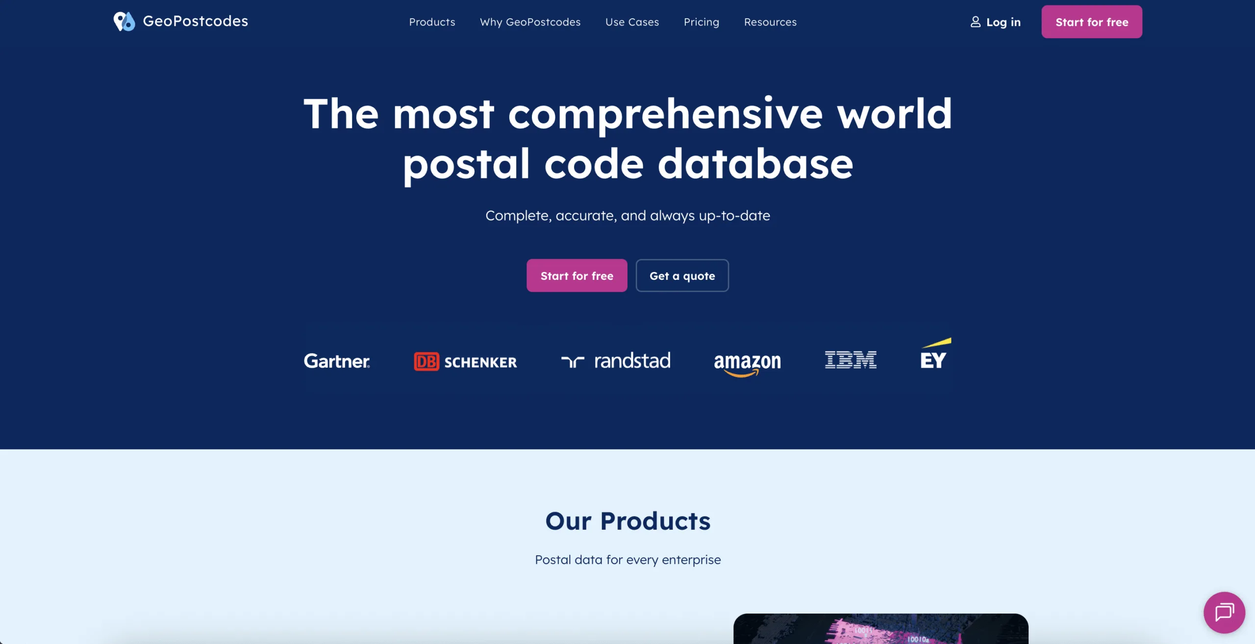
Mission: Be the leading provider of the world’s most comprehensive self-hosted ZIP code data for Enterprise customers with international coverage
Coverage: Global
Offers: ZIP code Database, Address Database, Boundary Data, Population Data, UNLOCODE Data
GeoPostcodes is the go-to provider for businesses operating in multiple countries needing extensive global coverage, for product builders that need accurate data for address validation and autocomplete, and for various use cases such as map visualization, reporting, and logistics solutions.
For over 15 years, GeoPostcodes has provided comprehensive international postal and ZIP code databases for enterprises. The global coverage includes 9.3 million postal codes, standardized data across 233 unique address formats, and regular updates from more than 1,500 sources to reflect the world’s changing geography.
InfobelPRO
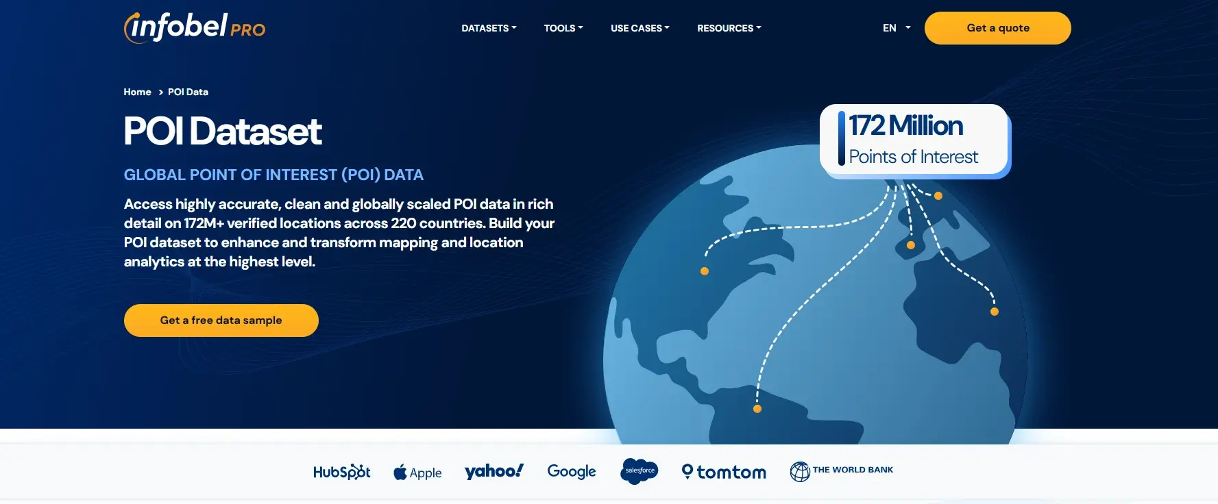
Mission: Provide the most complete and reliable commercial POI and business intelligence datasets to help organizations build accurate maps, power navigation systems, and understand global markets at scale.
Coverage: Global
Offers: Global Points of Interest, Building Footprints
InfobelPRO stands out as one of the largest and most accurate providers of commercial POI data worldwide. Its datasets power a broad range of applications, including mapping and navigation, EV routing, location intelligence, logistics optimization, and market analysis.
Google Maps
Mission: To make geographic information universally accessible and useful
Coverage: Global
Offers: Postal codes, addresses, time zones, boundaries
Google Maps provides a wide range of navigation and location-based tools across a broad international footprint. Its APIs include geocoding, reverse geocoding, and place search. It enhances user experience with minimal data usage and offers free-text autocomplete and pricing tiers designed for low-volume integrations.
Google Maps spans a broad mission across many products, and individual APIs reflect that breadth in their scope and feature set. For example, the Google Address Validation API focuses on consumer-facing validation flows, with throughput governed by query-per-minute quotas, with a default rate of 6,000 queries/minute.
Carto
Mission: To spatially enable every Data Scientist – making them more productive and impactful within their companies
Coverage: Global
Offers: POI, Property, Mobility, Transaction, Demographic, Address, Boundary, Street database
CARTO is a spatial analysis tool. Its primary focus is offering tools and platforms that enable data scientists to integrate and analyze spatial data sets effortlessly.
Esri

Mission: To provide insights and tools that help in understanding and addressing issues like climate change, supply chain resilience, public health, and social equity
Coverage: Global
Offers: Demographics, Street database, Imagery
Esri is an advanced GIS mapping platform. Esri’s suite of tools, which revolves around the ArcGIS platform, offers comprehensive geographical data management and analysis solutions. It supports various GIS applications, from simple map creation to complex spatial modeling.
Safegraph
Mission: To make high-quality, ethically and transparently sourced physical places data easily accessible to all
Coverage: Mainly US
Offers: POI, Building Footprints
Safegraph is ideal for those who need POI data and precise building footprints. They work to empower companies with improved analytics and geolocation intelligence.
HERE Maps
Mission: To create a digital representation of reality to radically improve the way everyone and everything lives, moves, and interacts
Coverage: Global
Offers: Cartography, POI’s landmarks, Routing API, Addresses, Boundaries, Geolocated data, Geocoding
HERE Technologies focuses on the automotive industry with real-time traffic data, route optimization, and reliable navigation services. It has expanded into mapping data spanning roads, buildings, and points of interest, with depth tuned to navigation use cases.
TomTom
Mission: To make smarter maps and navigation technology that improve people’s lives
Coverage: Global
Offers: Street database, Geolocated data, Satellite imagery, POI’s landmarks, House numbers
TomTom is well-suited for high-quality routing, primarily for navigation systems, and has created some APIs to access their data.
Alternative Data Sources
Open-source and local sources can be valuable for obtaining location data, especially for specific regions or niche applications.
Open-Source Data
The quality of open-source data differs significantly from one country to another. While it is appropriate for small private projects or minimum viable products (MVPs), it is not advisable for more robust applications because it is unstructured and often lacks up-to-date information.
Combining multiple open-source data sets can offer broader coverage but demands substantial validation and integration efforts.
OpenStreetMap
Users often call OpenStreetMap (OSM) “the Wikipedia of maps” because it provides detailed mapping information through a community-driven approach. As an open project, OSM has a distinct set of strengths and considerations.
The dataset is community-maintained rather than centrally standardized, which makes it especially valuable for individuals, mappers, and projects that work directly with raw geographic data rather than enterprises. Feature priorities are driven by the contributor community, and integration into business systems typically involves additional data normalization.
Local Sources
Local sources, such as postal operators and statistical offices, often offer current data for specific areas. These sources are suitable for businesses with operations in a limited geographic scope, providing detailed and reliable information, but they don’t easily scale to multiple countries.
Postal Operators
Postal operators such as USPS, Royal Mail, and Deutsche Post have extensive address databases to ensure accurate and efficient mail delivery. They regularly update their zip code data, providing reliable information on postal codes.
However, updates outside their primary postal responsibilities are less frequent. While postal operators are proficient in maintaining up-to-date zip code data, they may not be as effective in updating changes related to administrative regions, which could be essential for specific business applications.
Statistical Offices
Statistical offices have essential demographic and geographic data businesses can use to understand local market dynamics. This data helps with planning, analysis, and decision-making. National statistical offices offer comprehensive datasets on population distribution, economic activities, and regional development indicators.
This information is crucial for businesses to customize their services and products to meet local needs effectively. Companies can achieve high data accuracy and reliability using local sources like postal operators and statistical offices.
In-House Data Solutions
Managing address data in-house can seem appealing but presents significant challenges, mainly when dealing with global data. Here are seven specific challenges:
- Sourcing Data: Finding reliable, up-to-date, and accurate data sources across countries involves navigating various governmental databases, commercial providers, and open data platforms. Each source may have different standards, making it challenging to ensure consistency and reliability.
- Data Model Design: Creating a universal data model requires accommodating different countries’ unique data formats and structures. It involves designing a system that can handle variations in postal codes, administrative divisions, and address formats, which can be very specific and unique to each region.
- Pre-Processing Data: Address formats differ significantly across countries. Standardizing the data requires extensive pre-processing, such as converting different formats into a consistent structure, handling various languages and scripts, and normalizing data to remove inconsistencies.
- Administrative Divisions: Postal codes often must be linked to administrative divisions like states, provinces, or municipalities. Updating this information is challenging because administrative boundaries can change, and countries may have different systems for defining these divisions.
- Geocoding: Adding geographic coordinates (latitude and longitude) to postal data is essential for mapping and spatial analysis. This process is resource-intensive and requires accurate base maps and geocoding tools. Visualizing data correctly or computing distances for logistics becomes difficult without precise coordinates.
- Linking Standards: Matching zip codes with international geocoded codes involves handling different coding systems (e.g., ISO codes, FIPS codes). This process requires sophisticated string-matching techniques to ensure that names and codes accurately align across various datasets, which can be prone to errors due to variations in spelling, abbreviations, and formats.
- Data Quality: Ensuring data consistency, accuracy, and completeness involves continuous validation and updates. It includes regular checks to remove duplicates, correct errors, and update records based on new information. High-quality data is crucial for reliable analysis and operations.
Real-life example: Monster’s Challenges with Open-source In-House Data Solutions
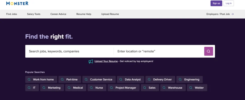
Monster, a global employment platform, faced several significant issues with its in-house address database:
- Data Maintenance: Their in-house database quickly became outdated. Regular updates were challenging and resource-intensive, leading to inaccurate and unreliable data.
- High Costs: Maintaining the database was economically unviable. The financial and human resources required to keep the data up-to-date were substantial, diverting attention from core business activities.
- Inconsistent Coverage: Relying on accessible online sources like GeoNames resulted in patchy coverage. This inconsistency affected the reliability of their address data, leading to gaps and errors in their services.
- Integration Issues: Combining data from multiple sources and ensuring compatibility across different formats was complex, which made maintaining a cohesive and functional database difficult.
- Scalability Problems: As Monster expanded globally, its in-house solution struggled to handle the increasing volume and diversity of data. It limited their ability to scale efficiently and meet growing demands.
- Data Quality: The in-house solution had significant issues with data quality. Inaccurate or incomplete data hampered their ability to provide reliable services, impacting customer satisfaction and operational efficiency.
- Lack of Specialized Expertise: Managing and updating the address database required specialized expertise, which was not always available in-house. This lack of knowledge further compounded the issues related to data maintenance and quality.
To address these challenges, Monster transitioned to using GeoPostcodes, a move that provided them with:
- Accurate and Regularly Updated Data: GeoPostcodes offered comprehensive, frequently updated address data, ensuring reliability
- Seamless Integration: The data was easy to integrate, reducing manual intervention and improving efficiency
- Enhanced User Experience: Features like alternative place names and city ranking improved the platform’s user experience, making searches more accurate and user-friendly
Self-hosted vs. API Solutions
Why Self-hosted?
Think of self-hosted solutions like owning your fleet of delivery trucks. You have complete control over routes, maintenance, and schedules.
Key Benefits:
- Complete Control: You manage everything. Your data stays on your company’s servers
- Enhanced Security: Customizable security protocols mean you can set up encryption to ensure only authorized parties access your data
- Predictable Fees: Unlike cloud services, you do not have high costs associated with use peaks, making self-hosted solutions cheaper for high data volumes
- Regulatory Compliance: Easily meet industry regulations since the data doesn’t leave your premises
Considerations:
- Initial Setup Time: It takes more time and effort to set up
- Example: Consider a company that needs tight security protocols. With a self-hosted solution, they can implement strict encryption standards, keeping their data safe and compliant with regulations
Why API?
If you don’t have the resources for a robust self-hosted solution, an API (Application Programming Interface) might be the way to go. Think of it as using a third-party logistics service. It’s convenient; you only pay for what you use and don’t need to worry about managing the fleet.
Key Benefits:
- Cost-effective Start: The pay-as-you-go model helps reduce upfront costs
- Quick Deployment: Easy to integrate with your existing systems
- Flexibility: Perfect for dynamic needs and scaling as your business grows
Considerations:
- Less Customization: Limited control over security and customization
- Potential Security Risks: Relying on third-party providers introduces vulnerabilities
- Possible Latency Issues: Data traveling over the Internet faces delays
Common Issues with APIs:
- Fake Lookups and Fraudulent Requests: Competitors or malicious actors can create fake lookups, inflating API usage and increasing costs
- Address Validation Problems: When using an API for address validation, missing zip codes, special characters, or other errors in data can cause delivery rejections. For example, suppose you forward addresses to DHL, and they get rejected due to these issues. In that case, you need to fix addresses manually, which is costly and time-consuming
- Data Ownership Concerns: Depending on a third-party provider can lead to data ownership issues, as you might not have complete control over your data
- Security Vulnerabilities: Data traveling over the Internet is susceptible to security breaches if the API provider doesn’t have strong security measures
| Aspect | Self-hosted | API Solutions |
|---|---|---|
| Control | Complete control over data, routes, and schedules | Limited control, managed by third-party provider |
| Security | Enhanced, customizable security protocols | Dependent on provider’s security measures, potential vulnerabilities |
| Cost | Predictable fees, potentially cheaper for high volumes | Cost-effective start, pay-as-you-go model |
| Regulatory Compliance | Easier to meet industry regulations, data stays on-premises | May face challenges with compliance due to data leaving premises |
| Setup Time | Longer initial setup time | Quick deployment and integration |
| Customization | High, tailored to specific needs | Less customization, more standardized |
| Latency | Minimal, as data does not travel over the internet | Potential delays due to data traveling over the internet |
| Common Issues | Initial setup effort | Fake lookups, fraudulent requests, address validation problems, data ownership, security vulnerabilities |
Conclusion
We discussed how important location data is when operating in multiple countries, especially with the various address format challenges. Inaccurate location data costs companies time and money. Open-source data, such as OpenStreetMap, can be helpful for smaller projects but often lacks the reliability for enterprise applications. Local sources, such as postal operators and statistical offices, provide detailed regional data but do not scale well for international use.
We also compared commercial providers and explored the differences between self-hosted and API solutions. Self-hosted solutions offer complete control, increased data safety, better performance, and easier compliance with regulations.
If you want a reliable self-hosted solution, GeoPostcodes is the best option due to its specialization in comprehensive international postal and zip code databases, global coverage, standardized data, and robust support for various business applications.
On the other hand, there are API providers such as Google Maps or TomTom. APIs are great for quick implementation and lower upfront costs when you do not have the resources for a robust self-hosted option.
When selecting a location data provider, it’s essential to consider your specific needs. Whether you opt for a self-hosted solution like GeoPostcodes or an API-based service, making an informed choice will equip your business with the data necessary to enhance operational efficiency.
FAQ
What does location intelligence software do?
A location intelligence software, also called spatial intelligence software or a location intelligence platform, produces insights into spatial data into how the relationship between people, objects, and their physical locations impacts an organization.
The tool’s mapping and modeling features help data scientists and analysts understand geospatial data and its implications for a business’s
What do companies use location data for?
Companies utilize location data for:
- Delivering personalized content, offers, and advertisements based on the user’s location
- Understanding customer behaviors, preferences, and real-world movements
Do cell phone companies sell location data?
Yes, cell phone companies sell location data to third parties, such as aggregators, marketplaces, and firms specializing in location intelligence.
While this practice is legal in the United States, the Federal Communications Commission (FCC) has charged carriers with shared location data without obtaining customer consent.
Who buys location data?
Ad agencies, data brokers, and intelligence agencies primarily purchase location data. Ad agencies acquire location data from various sources, including apps, websites, network providers, ad networks, and ad exchanges.
On the other hand, data brokers collect, aggregate, and sell location data obtained from multiple sources. Intelligence agencies are known to purchase location data from data brokers, often without needing a warrant.
How much is my location data worth?
The value of your location data varies depending on the buyer and the intended use. According to some estimates, general location information is at approximately $0.0005 per individual or $0.50 for every 1,000 people.
However, more detailed and precise location data collected by apps and sold to entities like military contractors can fetch higher prices. The market size of mobile phone location data is around $12 billion.
What are location data companies, and what do they do?
Location data companies specialize in collecting, analyzing, and providing geographical information. They gather data from various sources, such as satellite imagery, GPS, and census data, to create detailed maps and datasets.
These companies offer services that include data visualization, geographic information system (GIS) analysis, and location intelligence solutions.
By leveraging these services, businesses can make informed decisions based on precise geographical insights.
How can businesses benefit from location intelligence solutions?
Location intelligence solutions enable businesses to understand better their operations, customer behavior, and market trends. By integrating location data into their strategies, companies can optimize logistics, enhance marketing campaigns, and improve site selection.
For instance, analyzing census data can help retailers identify high-potential areas for new store locations. Moreover, GIS and data visualization tools provide a clear and actionable view of spatial data, facilitating better decision-making.
What should you consider when looking to buy location data?
Evaluating location data’s accuracy, coverage, and relevance is essential. Ensure the data provider uses reliable sources, such as up-to-date census data and real-time satellite imagery.
Additionally, consider the data’s compatibility with your existing geographic information system and whether the provider offers support and customization options.
High-quality location data can significantly enhance your business’s analytical capabilities and drive strategic growth.
How does a geographic information system (GIS) support businesses?
A geographic information system (GIS) is a powerful tool that supports businesses by managing and analyzing spatial data. GIS applications can visualize complex data sets, revealing patterns and trends that are not immediately apparent.
For example, a real estate company can use GIS to assess property values, zoning regulations, and demographic information, making informed investment decisions.
Integrating GIS with other business systems facilitates seamless data flow and enhanced analytical capabilities.
What are some typical applications of data visualization in location data companies?
Typical applications include mapping customer distributions, visualizing traffic patterns, and tracking environmental changes.
Businesses can quickly identify trends, make data-driven decisions, and effectively communicate their findings to stakeholders.
This approach improves operational efficiency and enhances strategic planning.